Forest and Environmental Status
Natural Heritage, Biodiversity and Environmental Conservation
6.1 Forest Area Status
Forest and jungle areas occupy 57.75 percent of the total geographical area of the municipality. Sustainable Development Goal No. 15 mentions sustainable management of forests, combating desertification, halting and reversing land degradation, and halting biodiversity loss. Therefore, it is essential to prioritize the conservation of forests to maintain ecological balance, atmospheric cleanliness, and wildlife habitat. On the other hand, if extensive tree plantation is carried out in barren lands outside the forest area and river banks in this municipality, the municipality can be developed as a green garden and forests can be linked to income generation to a limited extent. Similarly, tree plantation, dam construction, wire fencing, embankments, and traditional flood and inundation control and soil conservation programs need to be implemented in highly sensitive areas in terms of soil conservation. Also, since tree plantation is an effective measure of soil conservation, it is essential to prioritize this work.
6.1.1 Details of Forest Management (Government Managed, Community, Leasehold, Religious and Private Forests)
a. Community Forest
Community forest means national forest handed over to a user group for the development, conservation and use of the forest for collective interest. According to the policy of the Government of Nepal to involve local residents in forest conservation and use, community forest user groups are being formed and forests are being handed over through the District Forest Office in this municipality. According to the Forest Act, 2049 and Forest Rules, 2051, the community forest user groups themselves are fully responsible for the conservation, enhancement and management of community forests. When this program was initially implemented, its objective was to increase greenery in barren hills and slopes and to meet the basic needs of forest products including wood, firewood and leaves for the general public. However, the main objectives of this program now include poverty alleviation of poor families, livelihood, biodiversity conservation, sustainable forest management, good governance, inclusion, gender equality, especially participation of women, dalits and indigenous people, and it is believed that this program can also help in poverty reduction.
With the participation of the municipality and community forest user groups, various training seminars and study tours are being conducted to encourage the production of non-timber forest products within community forests. This seems to help advance all aspects of forest management from the local level and increase forest production. Since the manpower of the District Forest Office alone does not seem sufficient for strengthening community forests, various non-governmental organizations related to forests need to be deployed in the municipality for this purpose. Details of community forests registered in this municipality are mentioned in the table below.
Table No. 59: Details of Community Forests in the Municipality
| SN | Forest Name | Address |
|---|---|---|
| 1 | Mahabharat | Ward-10 |
| 2 | Devidhan | Ward-10 |
| 3 | Shivababa Women | Ward-10 |
| 4 | Krintimai | Ward-10 |
| 5 | Adarsha | Ward-10 |
| 6 | Sivai (Ramakant Memorial) | Ward-5 |
| 7 | Sivai Women | Ward-5 |
| 8 | Shivalaya | Ward-5 |
| 9 | Sagarmatha | Ward-5 |
| 10 | Shiva | Ward-5 |
| 11 | Churesivai Women | Ward-5 |
| 12 | Sukuna | Ward-5 |
| 13 | Dhoknahi Dharapani | Ward-5 |
| 14 | Dhamivethhan | Ward-5 |
| 15 | Mainamain | Ward-5 |
| 16 | Bhim | Ward-9 |
| 17 | Sarvodaya Namma | Ward-9 |
| 18 | Srijana | Ward-10 |
| 19 | Devisthan | Ward-9 |
| 20 | Deurali | Ward-9 |
| 21 | Bhagwati | Ward-9 |
| 22 | Mulkhola | Ward-9 |
| 23 | Triguna Van Balika Women | Ward-9 |
| 24 | Saraswati Women | Ward-9 |
| 25 | Simanta | Ward-9 |
| 26 | Hariyali | Ward-9,10 |
| 27 | Dhanpokhri | Ward-2,9 |
| 28 | Himchuli | Ward-1 |
| 29 | Thaukhani | Ward-1 |
| 30 | Dudhkoshi | Ward-1 |
| 31 | Lamakhola | Ward-1 |
| 32 | Bhalumara Ahale | Ward-1 |
| 33 | Panchkanya | Ward-1 |
| 34 | Chandeshwari | Ward-1 |
| 35 | Trishuli | Ward-1 |
| 36 | Sundar | Ward-1,3 |
| 37 | Shikhar Koshdhunga | Ward-1, Belka Mun-5 |
| 38 | Saunguri Gaunbeshwi | Ward-2 |
| 39 | Chitre Lama Khola | Ward-3 |
| 40 | Chuniya Lama Khola | Ward-3 |
| 41 | Kalibhangeni | Ward-3,4 |
| 42 | Basahathan | Ward-4 |
| 43 | Raktamala Devi | Ward-4 |
| 44 | Kobe Devi | Ward-4 |
| 45 | Janakalyan | Ward-4 |
| 46 | Chalise Devidhan | Ward-7 |
| 47 | Bapsanta Pangrami | Ward-7 |
| 48 | Salghari | Ward-8 |
| 49 | Sayapatri | Ward-8 |
| 50 | Tinthaya | Ward-8 |
| 51 | Baghakhor Devidhan | Ward-8 |
| 52 | Pakhepani | Ward-8 |
| 53 | Gewaadhan | Ward-8 |
| 54 | Sunagabha | Ward-8 |
| 55 | Dhulke Belar | Ward-7 |
| 56 | Deurali | Ward-3 |
| 57 | Ompsahare | Ward-6 |
| 58 | Devikhola | Ward-6,7 |
| 59 | Kattunje | Ward-6,7 |
| 60 | Singamala | Ward-1 |
| 61 | Churi | Ward-8 |
| 62 | Chiuri Bhanjyang | Ward-8 |
| 63 | Belka | Ward-3 |
b. National Forest
National forest means a forest action plan prepared to maintain environmental balance and develop, conserve and use and distribute forest products.
National forest means all forests within Nepal, whether demarcated or not, except private forests, and the term includes fallow or barren land surrounded by or adjacent to forests and roads, ponds, lakes or streams and gravels within forests.
c. Block Forest
Block forest means a part of a government-managed forest with an area of at least five hundred hectares.
d. Partnership Forest
Partnership forest means a part of national forest managed in partnership between the Division Forest Office, local level and users.
e. Religious Forest
Religious forest means national forest handed over to a religious body, group or community for development, conservation and use of the forest.
f. Private Forest
Private forest means forest grown or conserved on private land to which a person is entitled according to the prevailing law.
g. Leasehold Forest
Leasehold forest means national forest provided on lease to an institution, forest product-based industry or community established according to the prevailing law for achieving various objectives (also added by Some Nepal Amendment Act, 2075). The part of the national forest as mentioned in Section-6 of the National Forest Act, 2(4) is called leasehold forest. Leasehold forest is allocated for the following purposes:
6.1.2 Details of Areas Available for Tree Plantation
The banks of rivers and streams including Taprang River, Devi River, Bhadoli River, Ghormuna River, Sughare River, Karamje River, Lati River, the edges of playgrounds, and some vacant areas within community forests in this municipality are available as vacant areas for tree plantation.
6.1.3 Details of Medicinal Plants Production, Collection and Export
Details of Medicinal Plants
The medicinal plants found in the forest area of the municipality include Sarpagandha, Kurilo, Angeri, Tulsi, Harro, Barro, Amala, Neem, Gurjo, Bhui Amala and others. Besides these, medicinal plants including cinnamon, Chiraito, Sisno are found here and there seems to be ample possibility of collection and sale.
Table No. 60: Important Local Medicinal Plants Found in Chaudandigadhi Municipality
| SN | Nepali Name | English Name | Scientific Name |
|---|---|---|---|
| 1 | Adhuro | Malabar nut | Adhatoda vasica Nees |
| 2 | Aduwa | Ginger | Zingibar officinale Rose |
| 3 | Aak | Madar | Calotropis procera |
| 4 | Aiselu | Golden raspberry | Rubus ellipticus Smith |
| 5 | Karela | Bitter Gourd | Memordia charantia Linn. |
| 6 | Kagati | Lemon | Citrus eurantifolia (Christm) Swingle |
| 7 | Kurilo | Asparagus | Asparagus racemosus Willd. |
| 8 | Kush | Kus-grass | Desmostachya bipinnata Staff |
| 9 | Kera | Banana | Musa parasiciaca Linn. |
| 10 | Gurjo | Tinosphora cordifolia Willd Miers | |
| 11 | Gulaph | Rose | Rosa sp. |
| 12 | Ghantiphul | China rose | Hibiscus rosa-sinensis Linn. |
| 13 | Dhukumari | Aloe | Aloe barbadensis Mill |
| 14 | Titepati | Mug-wort | Artemisia vulgaris Linn. |
| 15 | Tulsi | Holy basil | Ocimum sanctum Linn. |
| 16 | Dudhejhar | Euphorbia thymifolia L | |
| 17 | Dubo | Conch grass | Cynodon dactylon Pers |
| 18 | Dhaturo | Datura | Datura metel Linn. |
| 19 | Dhaniya | Coriender | Corienfrum sativum Linn. |
| 20 | Neem | Neem tree | Azadhiracta indica A.Juss |
| 21 | Parijat | Night Jusmine | Nyctantanthes arbor-tristis Linn |
| 22 | Palugo | Spinas | Spicia oleracea Linn. |
| 23 | Pudina | Garden mint | Mentha spicata Linn. |
| 24 | Bakaino | China berry | Melia azadhirach Linn. |
| 25 | Bethe | Lambs quarters | Chenopoidium album L |
| 26 | Bojho | Sweet flag | Acorus calamus Linn. |
| 27 | Bhui Amala | Phyllanthus urinaria L. | |
| 28 | Mula | Radish | Raphanus sativus Linn. |
| 29 | Mothe | Nut Grass | Cyperus rotundus Linn. |
| 30 | Lajjawati | Sensitive plant | Mimosa pudica Linn |
| 31 | Lasun | Garlic | Allium sativum Linn. |
| 32 | Laha | Lac insect | Laccifer lacca Kerr. |
| 33 | Lunde | Pickly amaranth | Amaranthus spinosus L. |
| 34 | Sarpaganya | Serpentina | Rauwolfia serpentine Bethex Kurz |
| 35 | Sayapatri | Marigold | Tagetus erecta Linn. |
| 36 | Sisnu | Neetle | Urtica dioca Linn. |
| 37 | Sunp | Dill | Anethum sowa Kurz |
| 38 | Harro | Chebulic myrobalan | Terminalia chebula Retz. |
| 39 | Halendo | Turmeric | Curcuma longa Linn. |
6.1.4 Details of Forest Products Exported from the Municipality
Generally, the items used as forest products are wood, firewood, medicinal plants etc. Economic gains can be made by commercial production and export of such forest products by scientific management of forests or development of green areas. Especially in areas with large forest coverage, forests can be taken as the backbone of local development.
Looking at the situation of sales, distribution and consumption of forest products produced from Chaudandigadhi Municipality, the production here has been going to other areas within the district as well as other districts after meeting the supply of this municipality. In this municipality, wood/firewood consumption mainly occurs in industries based on forest products. Apart from this, the demand for wood/firewood required by the growing population and migration and urbanization and wood for development construction has been increasing. Households living close to forests consume more wood/firewood while households living far from forests consume very little wood/firewood.
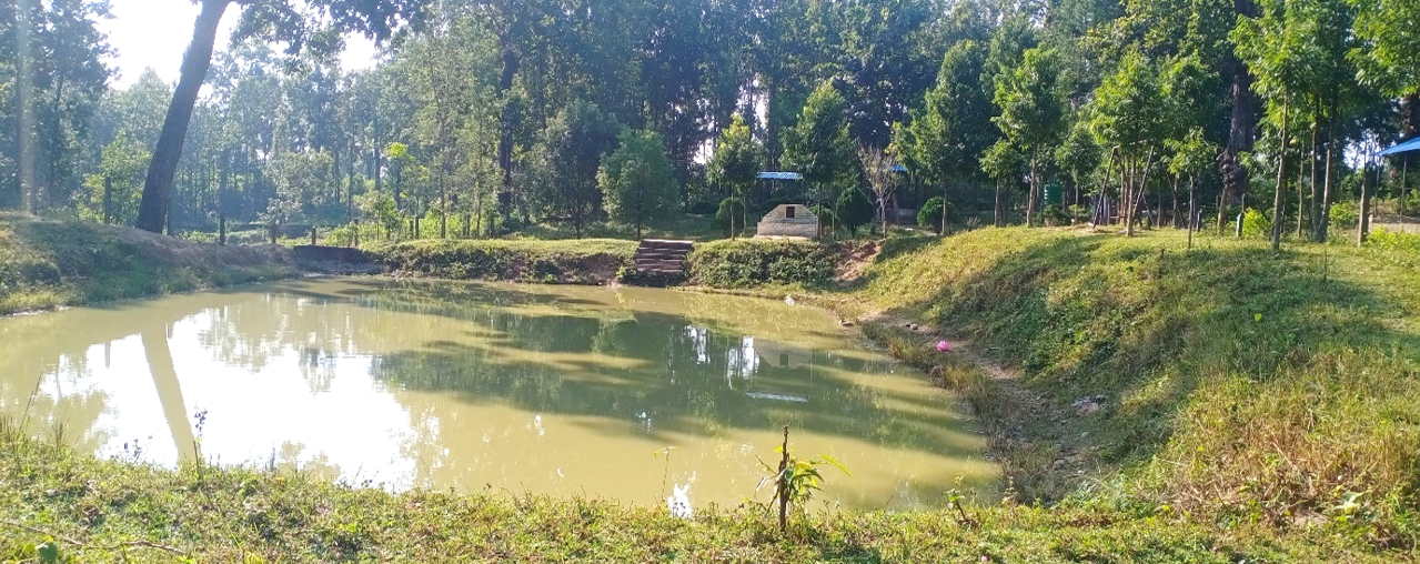
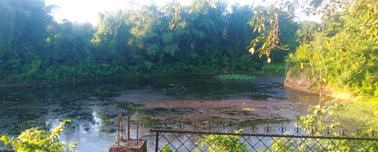
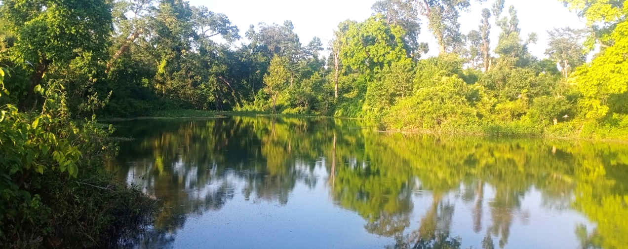
6.2 Water Resources and Watershed Areas
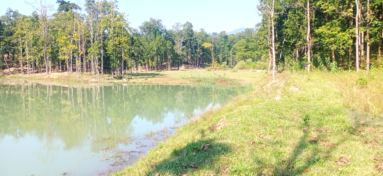
Badel Pokhari
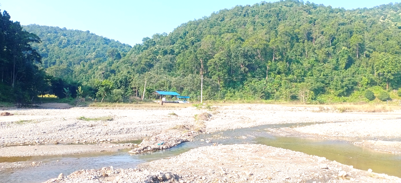
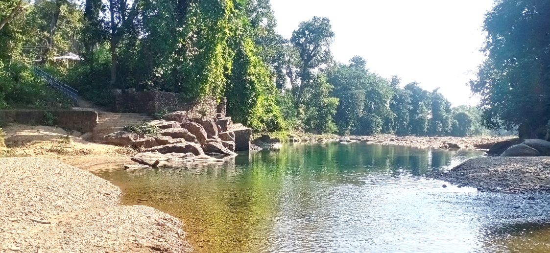
The rivers, streams and waterfalls including Taprang River, Devi River, Bhadoli River, Ghormuna River, Lati River, Karamje River, Gauri River, Duvar River, Aari River, Triyuga River, Sivahi River, Dolta River, Dunga River, Gher River, Badekha River, Jutpani River, Dudhkoshi, Chuila Waterfall, Lama River, Sundarpur Lake, Kali River, Kali Daha, Bhutiya Daha, Siddhipur Dhodeni Waterfall, Raksha Daha, Apra River are the main sources of watersheds here. Underground water, rivers, streams, canals, waterfalls, ponds, irrigation channels etc. are sources of water in the municipality.
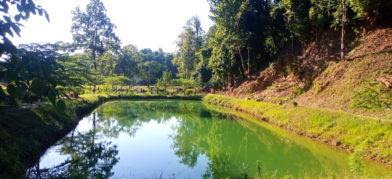
Tin Dobhaneko Talau
6.2.1 Major Rivers and Streams
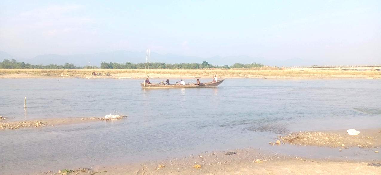
Triyuga Khola
The streams and canals spread across various geographical areas and wards of the municipality not only store abundant water but also provide shelter as safe habitats for various types of aquatic animals and birds. Also, it is seen that animals drink water from such streams and farmers also use water for irrigation partially from time to time. Due to the development of human settlements and the pressure of migration, as well as excessive grazing and use of unproductive animals, natural rivers/streams continue to be eroded and buried. Details of streams, canals, rivers, lakes and waterfalls in the municipality are mentioned in the table.
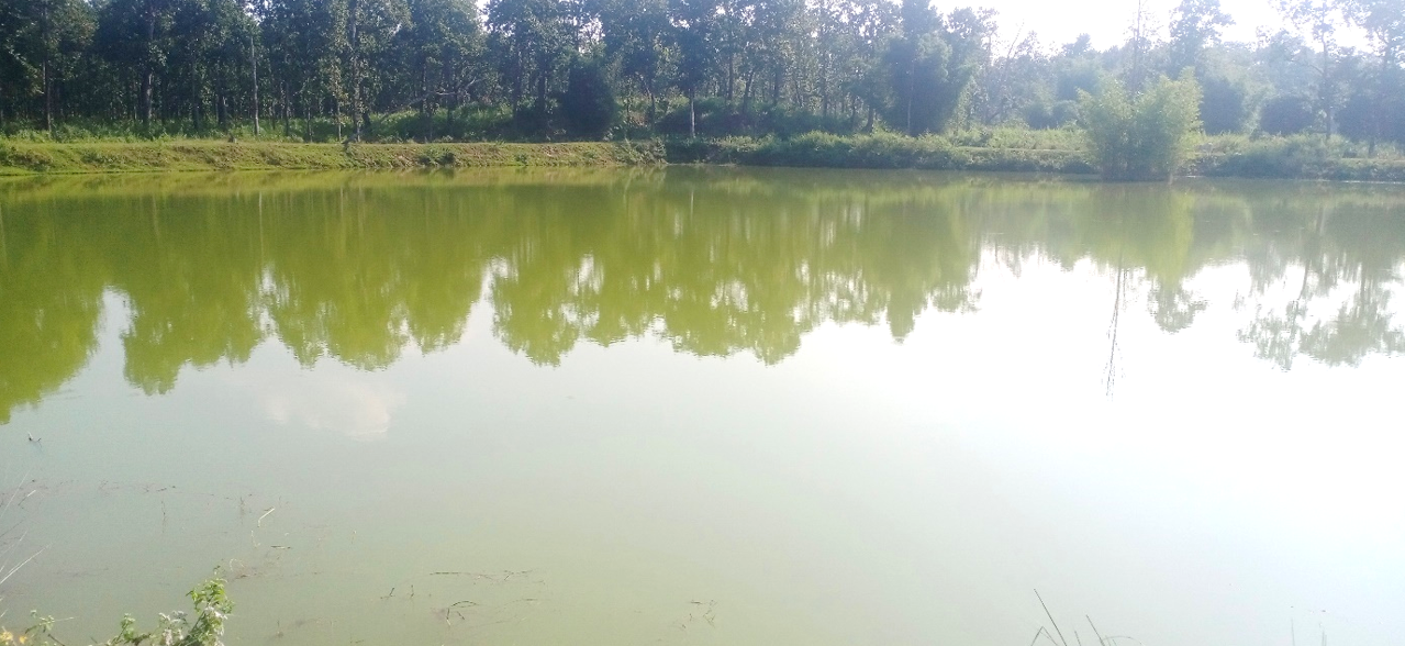
Sundarpur Pokhari
Duvar Khola
Table No. 61: Details of Streams, Canals, Rivers, Lakes and Waterfalls in the Municipality
| SN | Rivers, Streams, Lakes and Waterfalls in Municipality | Address |
|---|---|---|
| 1 | Chuila Waterfall, Namdaha, Budbunge Waterfall, Koshi River | Ward No. 1 |
| 2 | Triyuga River, Lama River | Ward No. 2 |
| 3 | Kali River | Ward No. 3 |
| 4 | Triyuga River, Tindobhane | Ward No. 4 |
| 5 | Triyuga River, Dher River, Badekha River, Sivahi River, Dunga River, Tamang River, Jutpani River, Dolta River, Sundarpur Lake, Phantewa River | Ward No. 5 |
| 6 | Kali Daha | Ward No. 6 |
| 7 | Duvar River, Aari River, Aari Daha | Ward No. 7 |
| 8 | Duvar River, Dudhkoshi River, Apra River, Siddhipur Dhodeni Waterfall | Ward No. 8 |
| 9 | Raksha Daha, Dhan Pokhri, Triyuga River | Ward No. 9 |
| 10 | Bhutiya Daha, Triyuga River | Ward No. 10 |
Pokhari
[Image Title]
Sukuna Pokhari
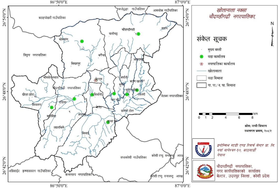
Map No. 8: River and Stream Network Map of Municipality
Bhutiya Daha Debdar Khola
6.3 Biodiversity and Environmental Services
6.3.1 Details of Important Animals and Birds Based on Habitat
a) Details of Major Wildlife
The major wildlife found in this municipality include monkeys, deer, leopards, wild boars, red pandas, gorals, barking deer, musk deer, civets, rabbits, weasels, foxes, hyenas, and jackals.
b) Details of Major Birds
The bird species in this municipality include pheasants, doves, parrots, pigeons, jungle fowl, partridges, kalij, crows, herons, cranes, crows, hornbills, cuckoos, and ducks.
c) Reptiles
In this municipality, reptiles mainly include snakes, water snakes, lizards, monitor lizards, frogs, and turtles.
d) Insects
Butterflies, grasshoppers, moths, dung beetles, fireflies, leeches, crickets, mosquitoes, wasps, bees, spiders, centipedes, fish, millipedes, and caterpillars are found.
6.3.2 Important Vegetation Details
The municipality has plant species including sal, sallo, bamboo, chilaune, teak, neem, thakal, simal, amala, bhalayo, badahar, chiuri, jamun, salla, kimbu, aiselu, katus, karam, saj, sal, sisau, and khayar.
Details of Medicinal Plants
Medicinal plants such as harro, barro, amala, kurilo, sarpagandha, angeri, tulsi, gurjo, bhui amala, dalchini, chiraito, and sisno are found in the forest area of the municipality. There seems to be ample possibility of collection and sale of these medicinal plants.
6.4 Disaster Risk Management
The river and stream banks of the municipality fall in sensitive areas from the perspective of soil erosion. Due to human activities affecting the natural environment, uncontrolled forest fires, grazing trends, and haphazard extraction of stones and sand from streams in the municipality area have disrupted natural balance and concentrated uncontrolled flooding towards settlements and agricultural areas. As riverine materials are being extracted in quantities exceeding the capacity of streams, the possibility of erosion and soil loss in surrounding areas is increasing as the stream surface deepens. The human activities of human settlements centered around the municipality's streams have also adversely affected this sensitive area from the perspective of soil erosion due to seismic hazards. To stop this process, embankment arrangements and drainage systems need to be arranged. Similarly, conflicts between humans and wild animals have been causing various types of human incidents. Considering the need to adopt short-term, medium-term and long-term measures, clear and embankment construction as a short-term measure, plantation around the affected area as a medium-term measure, and conservation of the entire stream-affected area as a long-term measure, work needs to be advanced towards minimizing conflicts between humans and wild animals. It is seen that programs related to intensive watershed area conservation should be implemented without affecting the mentioned areas by human activities.
6.4.1 Details of Human and Physical Damage from Disasters
In this municipality, floods and landslides cause human and physical damage during the rainy season. This causes physical damage to many households annually. Problems include land erosion, damage to fish ponds, damage to livestock, damage to houses etc.
6.4.2 Time of Risk According to Disaster Type
Table No. 62: Details of Potential Disasters in the Municipality
| SN | Potential Disaster | Current Situation | Time |
|---|---|---|---|
| 1 | Earthquake | Nepal ranks 11th globally in terms of earthquake risk, and there are very few earthquake-resistant buildings in the municipality, with building codes not fully implemented. | Any time |
| 2 | Flood | Various flash floods in the municipality erode arable land and cause inundation during the rainy season. Many families are affected annually. | Jestha-Ashoj |
| 3 | Landslide | Sudden floods and landslides in various streams flowing through the municipality destroy arable land, houses, roads, bridges and cause human casualties during Jestha, Asar, Saun, Bhadra months. | Jestha-Ashoj |
| 4 | Fire | Dense settlements in most parts of the municipality (squatters, flood victims), lack of awareness in households of ultra-poor communities, lack of fire control equipment, use of kerosene while lighting stoves, and children playing with fire-lighting objects like matches and lighters lead to increased fire incidents. Forest fire problems are also seen. | Chaitra-Jestha |
| 5 | Epidemic | Increase in waterborne diseases like diarrhea as disasters, lack of resources and public awareness, lack of adaptive capacity. | Post-disaster, other times |
| 6 | Corona Virus, Bird Flu, Other Flu | Unorganized poultry farming, Swine flu etc. | Any time |
| 7 | Wild Animal Terror | Attacks by (monkeys, wild boars, porcupines) and fear of wild animals continue in various areas of the municipality (areas near forests). | Any time |
| 8 | Insect Terror | Disappearance of beneficial birds, insects due to climate change, excessive use of pesticides. | Farming season |
| 9 | Lightning, Hailstone | Mostly during rainy season and when it rains. | Any time |
Source: Office of the Municipal Executive
6.4.3 Disaster Management Preparedness
Due to geographical complexity, Nepal is in a high-risk zone for natural disasters. Large amounts of life and property are lost annually in Nepal due to natural disasters. The pain of the 2015 earthquake in Nepal is still fresh. The municipality is also in a sensitive state from the perspective of natural disasters. Especially natural disasters like floods, river erosion, storms, hailstones, lightning, lack of rain, dry drought, and forest fires have been appearing in this municipality. The past COVID-19 and epidemics spreading at various times have had a deep impact on economic and other sectors as well. Although such disasters generally cannot be fully controlled, the loss of life and property can be minimized by adopting impact mitigation measures. The municipality has put forward policies such as making the municipal-level disaster management committee and ward-level disaster management committee more active and effective, managing essential materials for disasters, continuing embankment and river control works in risky places caused by various flash floods and rivers using funds obtained from extraction and sale of riverine materials to minimize water-induced disaster damage, formulating and implementing the municipality's local disaster risk management plan for effective and planned management of disasters, establishing a disaster fund and operating emergency assistance programs, publishing and broadcasting awareness-raising subjects through local media to avoid disaster and epidemic problems, as well as coordinating, collaborating and partnering with government and non-government bodies active in this sector.
6.4.4 Details of Emergency Transportation Means
Although there is access to health services at the municipality center, emergency health services could not be delivered from health institutions of all wards. To provide health services to patients in emergency situations, 6 ambulances, 1 fire engine and 1 fire extinguisher are in operation with 24-hour service within the municipality. It seems necessary to arrange additional necessary ambulances in various wards of the municipality to provide service in emergency situations in various communities.